 Shamrock O-Ringen Maps Shamrock O-Ringen Maps
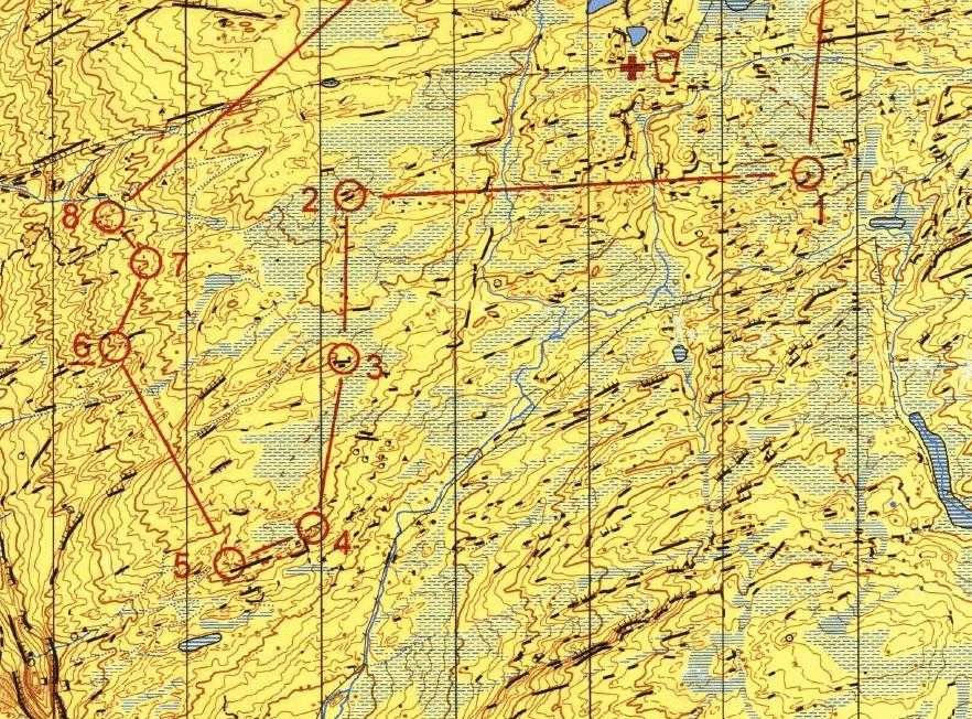
 The 1995 Irish Championships and two days of the 1995 O'Ringen were held on The Black Lakes, between Kilgarvin and Poulgorm. This clip (228k) shows most of the linear features on the map (two or three fences and a couple of streams). The map is at 1:10000 and is quite large. The clip shows part of the M21S course from the 1995 Irish Champs.
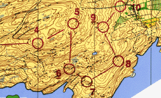
Here is a section (1.5km x 1km, 48k) of the Dunboy map, near Castletownbere that was used for day 3 in 1992. I was a planner for that event.
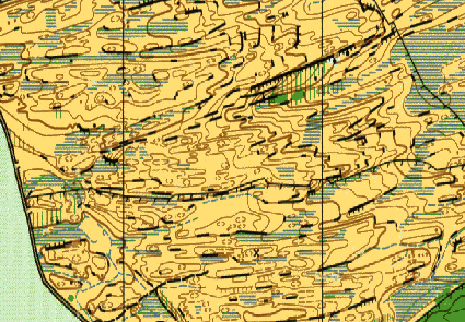
I also have a section (1km x 1km, 66K) of Bear na Gaoithe, near Inchigeela in West Cork. The map is at 1:15000, but I have saved it at about 1:10000 for clarity. This piece was also part of the now famous (in Ireland at least) Tír na Spidóige map that was used for the very first event, back in 1989. The area around Inchigeela and Ballingeary makes up some of the most complex terrain in Ireland.
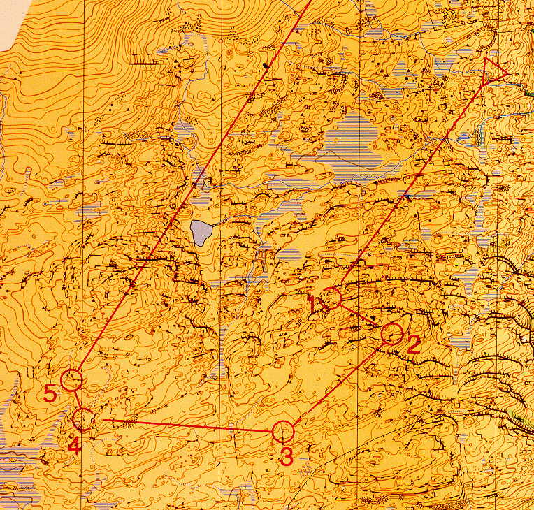
The 1998 Orienteering Cup Classic Final was held on Crohane Mountain. Mind now, this thing is huge (396k). It's a superb area.
I hope to be able to post some more clips plus some photographs but then again, I've been saying that for years.
![]()
Last updated: 18 March 1999